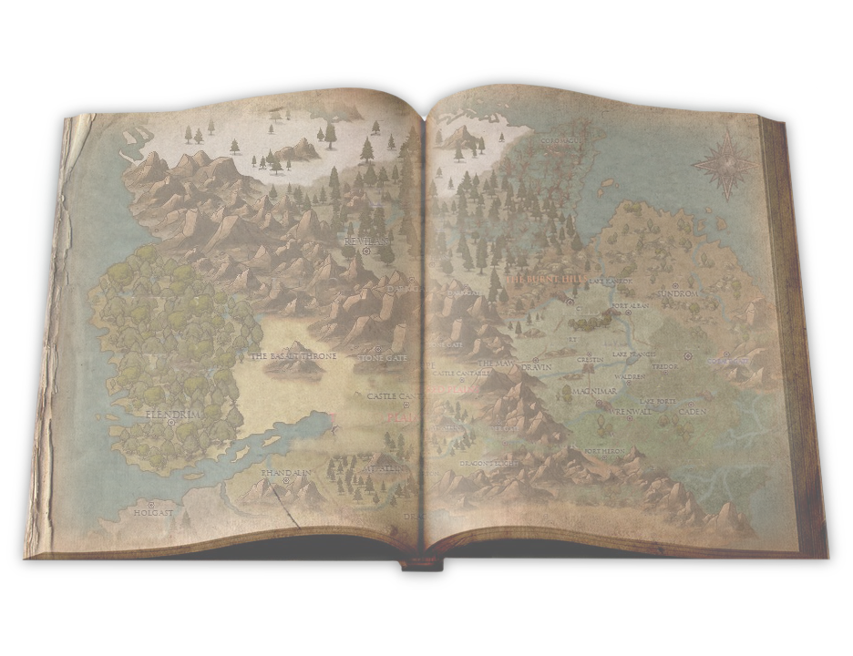


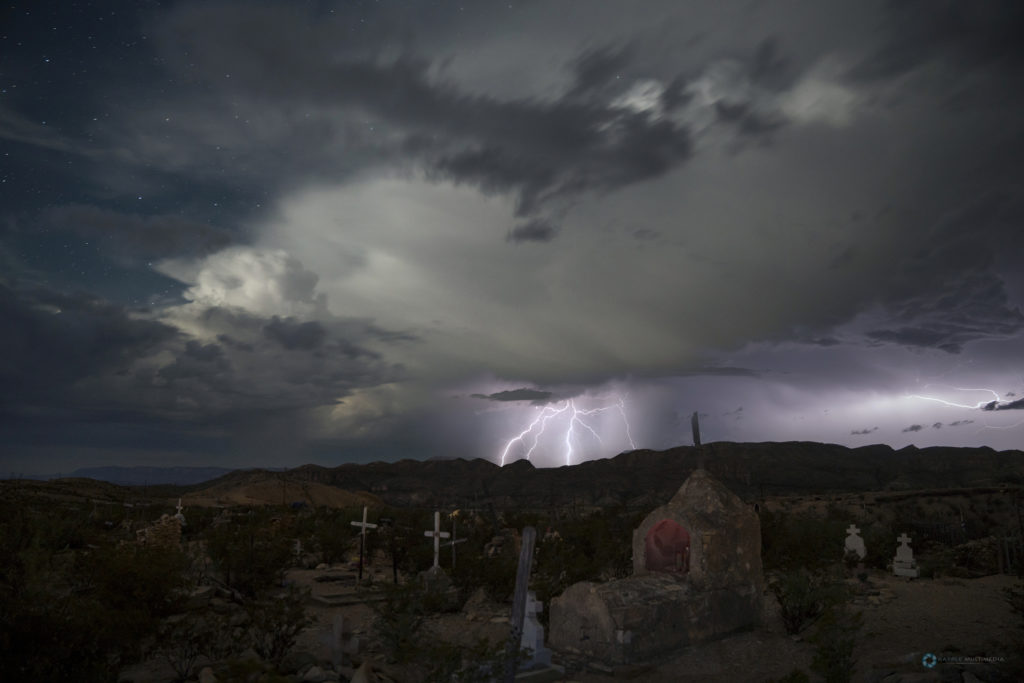
Adventure Across The Beautiful States
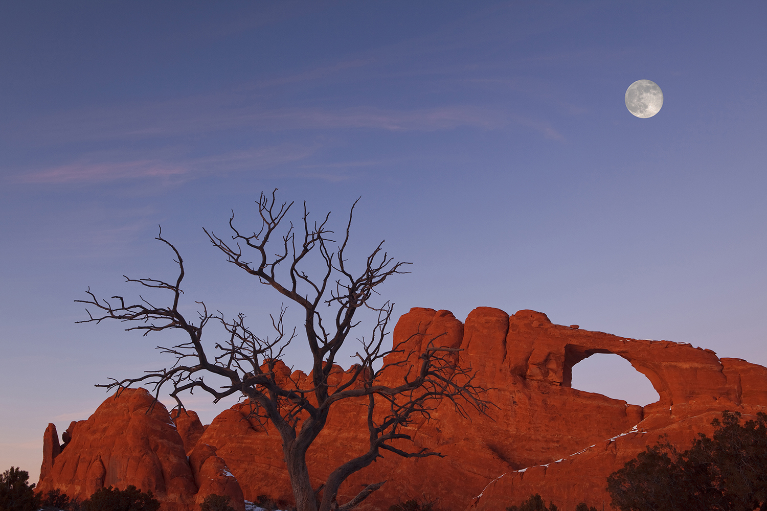
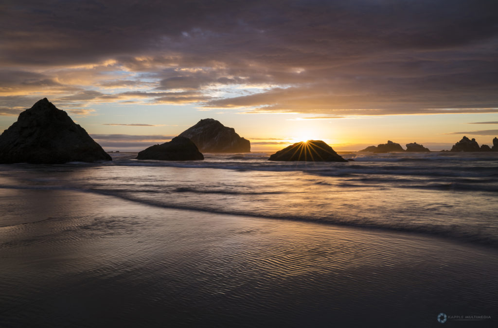
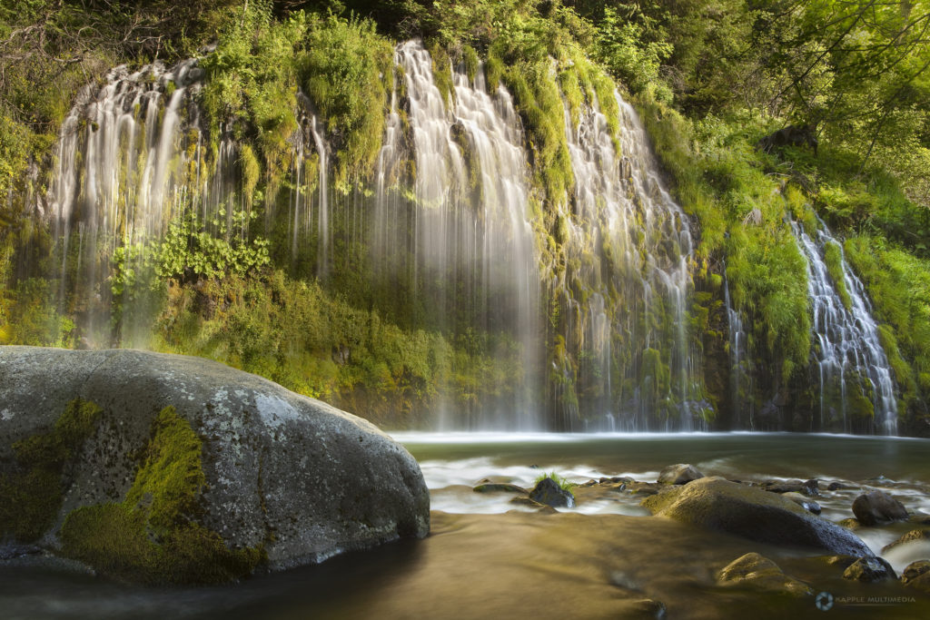
Incredible canyons, mountains, lakes and open National Parks to explore.
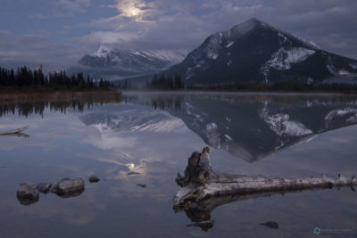
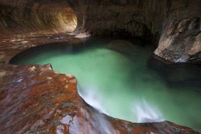
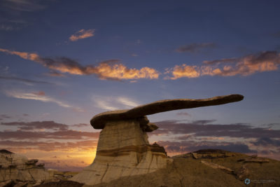
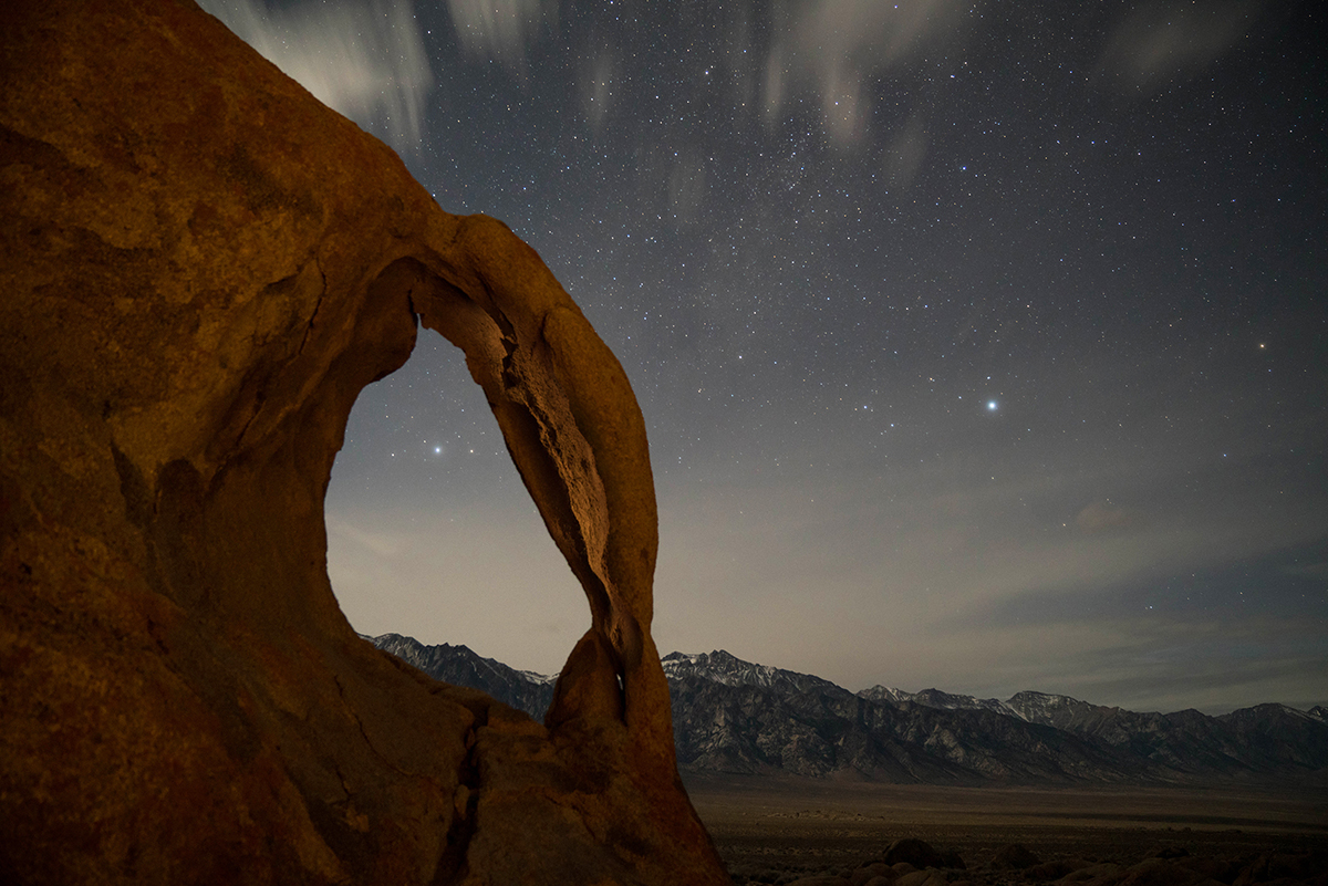
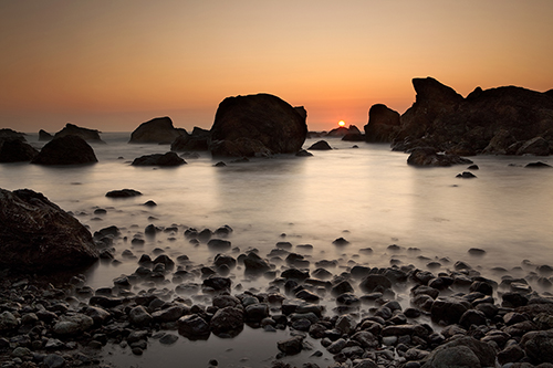
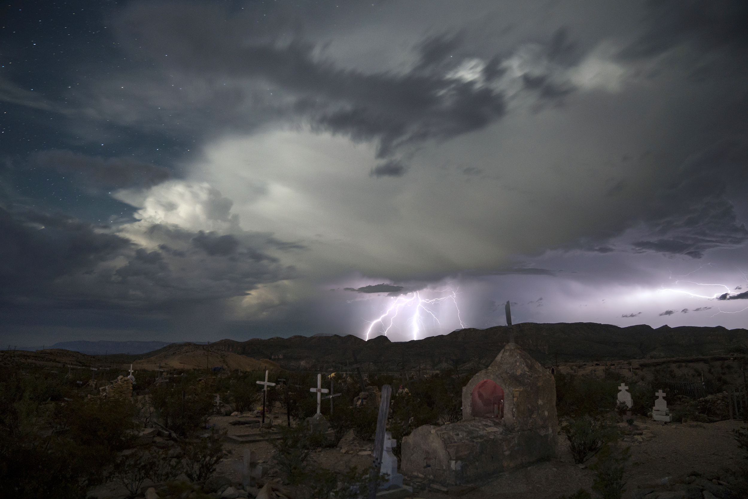
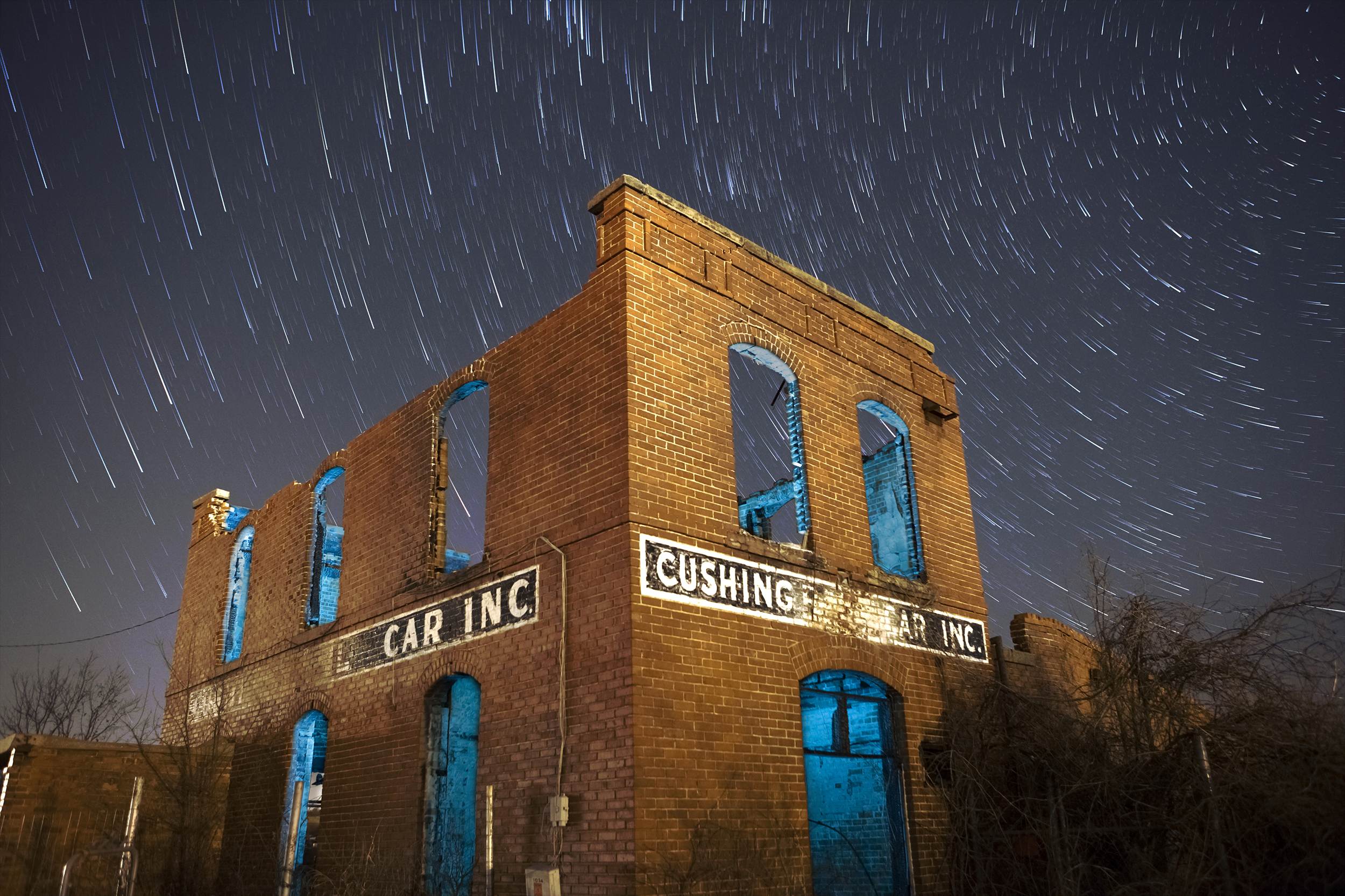
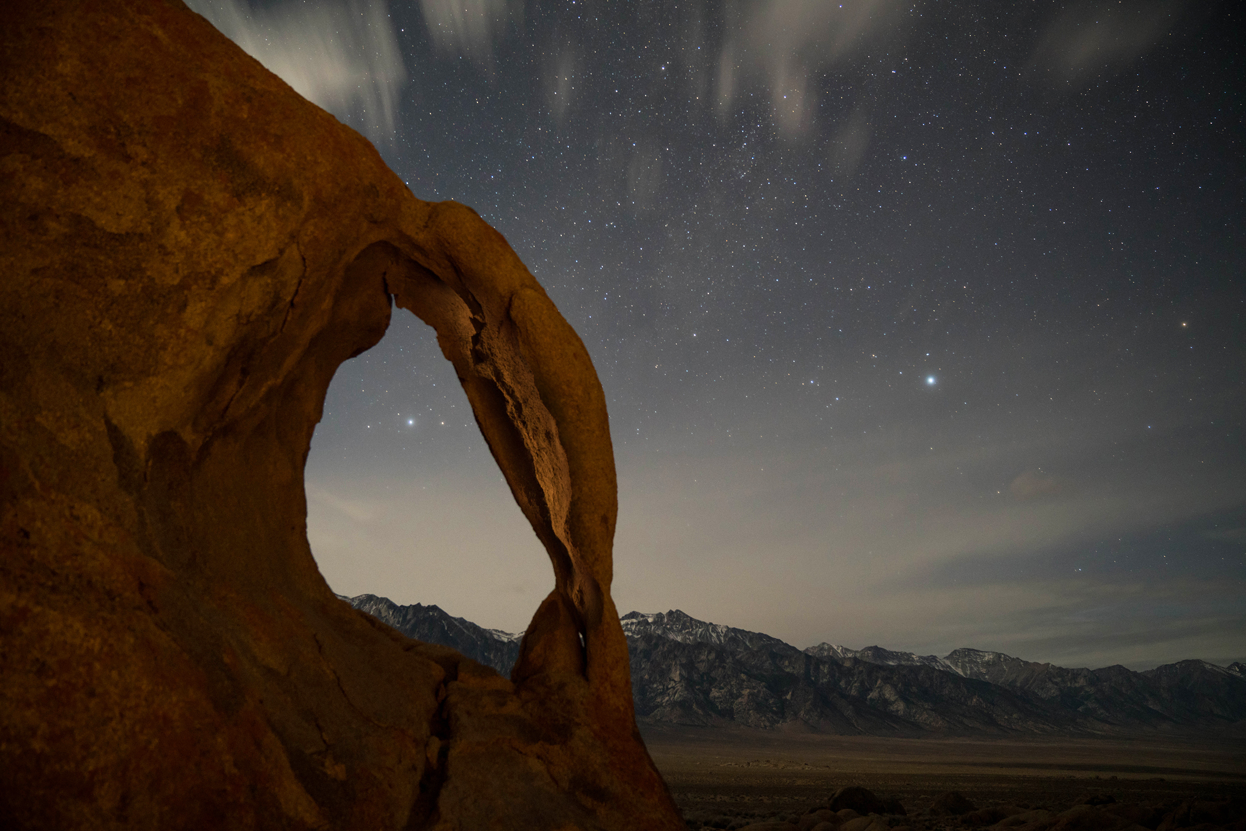
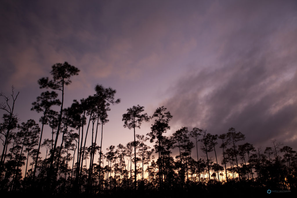
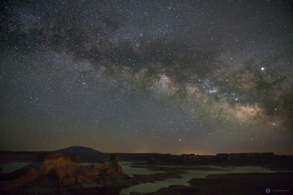
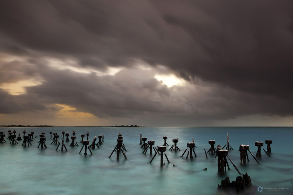
Stunning skies, night and day.
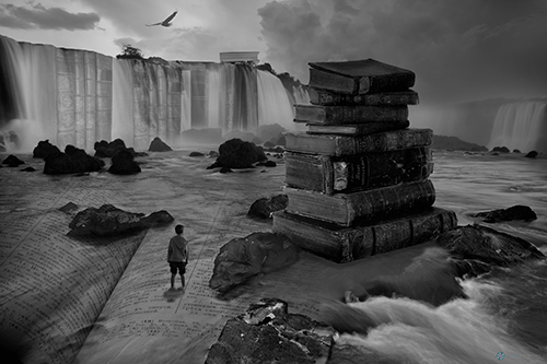
All the waters run to the sea and yet the sea is not full,
and from the place where they began, thither they return again.
Take The Biggest Adventure of Them All!
Commercial Industrial Photography, Website Development,
SEO Analyst Services, Digital Imaging, Photography Lessons, Photoshop classes.
Kapplemultimedia has been busy creating for 20 years, specializing in photography, websites and illustrations. View the commercial Commercial portfolio page for links to client projects. Private Photography lessons and Workshops, One on One Photoshop tutoring and lessons. Overview of Landscape photography galleries and nightscapes with images from New York to California and Canada to Brazil. A wide range of images can be viewed by either clicking on the thumb nails or visit the photography page and see all the galleries. Be sure to check out the Online Store to buy images directly!
The adventure is not only about the area you are checking out,
but the people you are checking it out with.